Northern Saskatchewan
Overview
The Northern Saskatchewan uranium land package consists of 9 properties totaling just under 6,500 hectares, within or in very close proximity to the Athabasca Basin. Two of the projects lie proximal or close to known deposits and a third hosts a 1957 historic resource. Highlights from the property package include:
- Bleasdell Lake – host to a 1957 historic resource of 620,700 pounds of U3O8 contained within two zones
- Parks Lake – 3 km to SE of historic Rabbit Lake Mine and 2 km to 4km E to NE of Uranium Energy Corp.’s Horseshoe and Raven deposits
Pistol Lake – completely surrounded by Cameco and 600 metres north of their Sand Lake deposit.
Bleasdell Lake
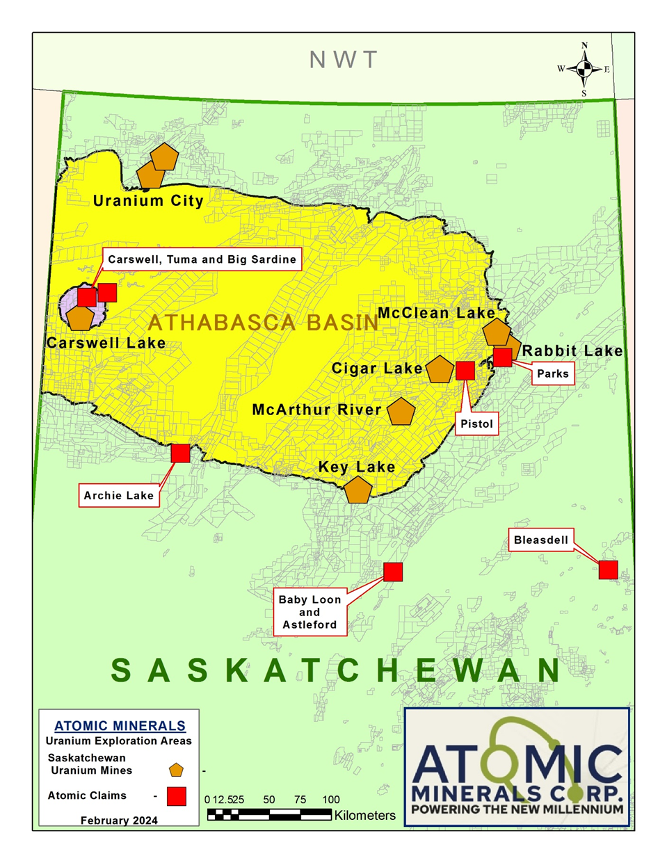
Bleasdell Lake lies to the east of the Athabasca Basin, 95 kilometres southwest of Lynn Lake, Manitoba. Exploration in the late 1950’s discovered two uranium bearing pegmatite dykes on the west shore of Bleasdell Lake.
Sampling, trenching and diamond drilling in 1957 defined a historic resource of 620 ,700 pounds of U3O8 contained within two zones. The 400 metre Horn Zone hosted zones of 90 metres of 0.12 % U3O8 over 2.56 metres and 0.062 % U 3 O 8 over 1.21 metres, while drill width intersections over the entire 400 metre ranged from 0.091 % U 3 O 8 over 1 .86 metres to 0 .2025 % U 3 O 8 over 2 .99 metres. There is little information on the Jackpine Zone located 450 metres along strike to the northwest.
Parks Lake
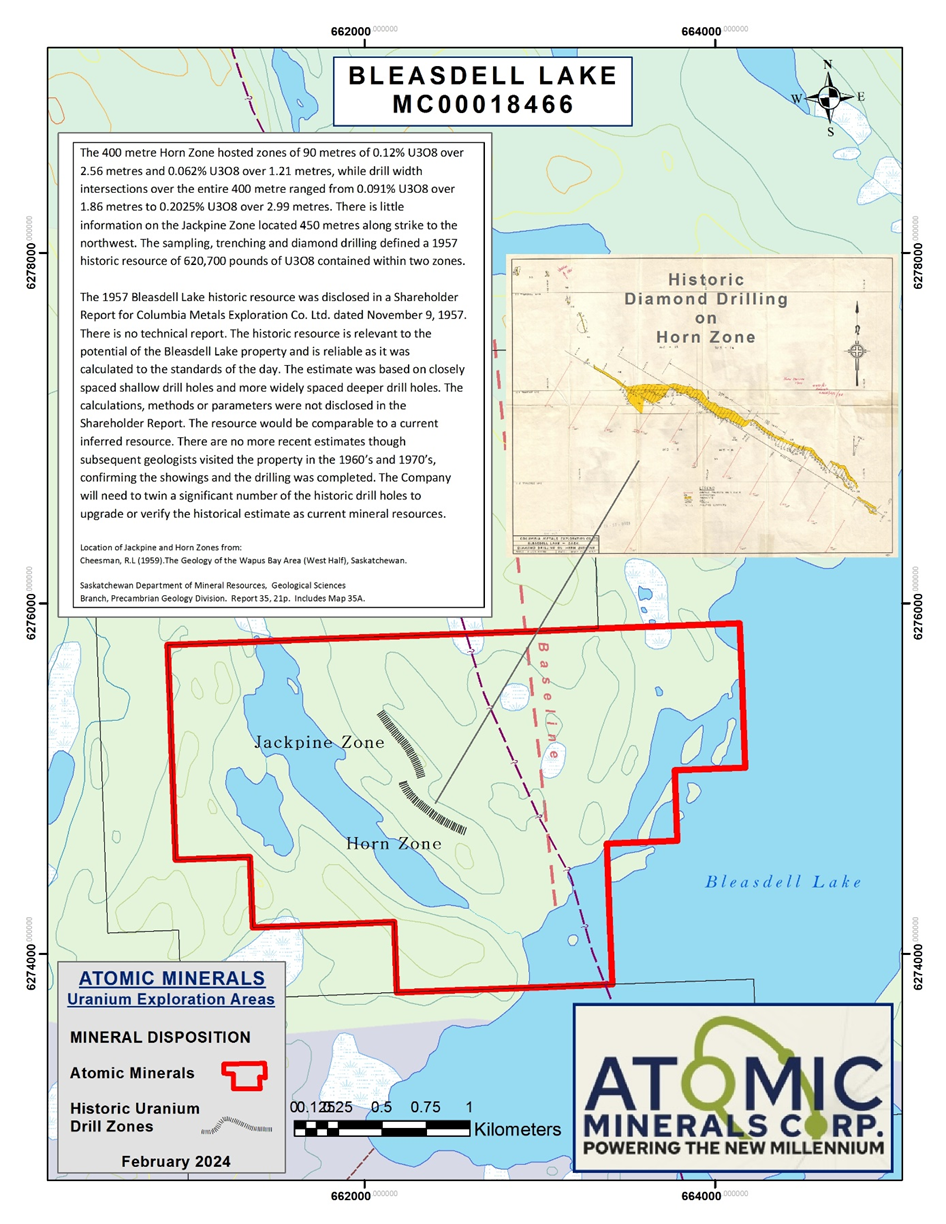
Parks Lake lies in a highly prospective area on the eastern side of the Athabasca Basin, 3 km to SE of historic Rabbit Lake Mine and 2 km to 4km E to NE of Uranium Energy Corp.’s Horseshoe and Raven deposits. Parks Lake is surrounded by majors, with Uranium Energy bordering to the west and south and Cameco bordering to the east and north. Conductors appear to trend from Uranium Energy’s land onto the Parks Lake property, suggesting a high priority target.
Pistol Lake
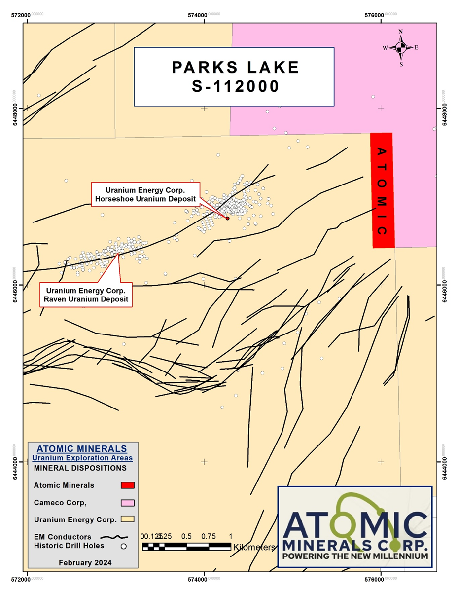
Pistol Lake lies within a highly prospective area on the eastern side of the Athabasca Basin and is completely surrounded by Cameco. The Cameco Sand Lake Uranium Deposit lies 600 metres from the southern claim boundary. Recent drilling has been undertaken on most of the nearby claims according to the property vendor, suggesting conductors that appear to trend onto the Pistol Lake property are high priority targets.
Carswell Lake
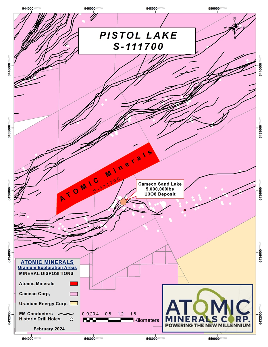
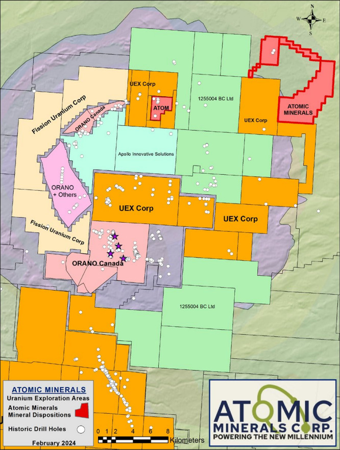
Carswell Lake lies in the Cluff Meteorie Crater approximately 15 kilometres to the north of the Cluff Lake Mine. Carswell Lake hosts a historic showing and three historic drill holes, and is completed surrounded by Uranium Energy Corp. Four historic showings have been documented in the provincial mineral inventory database.
Other Properties
- Tuma Lake covers an aeromagnetic anomaly approximately 10 kilometres to the northeast of Carswell Lake.
- Big Sardine is contiguous to Tuma Lake and lies along a significant fault system.
- Baby Loon Lake lies to the south of the eastern side of the Athabasca Basin and covers two historic uranium showings near the Needle Falls Shear Zone.
- Astleford Lake is contiguous to the south and covers the potential strike extension of the zone.
- Archie Lake lies contiguous to north, east and west to NexGen Energy, in the southwest edge of the Athabasca Basin. The assessment records need to be reviewed for conductors within the property, prior to the initiation of 2024 exploration.
